
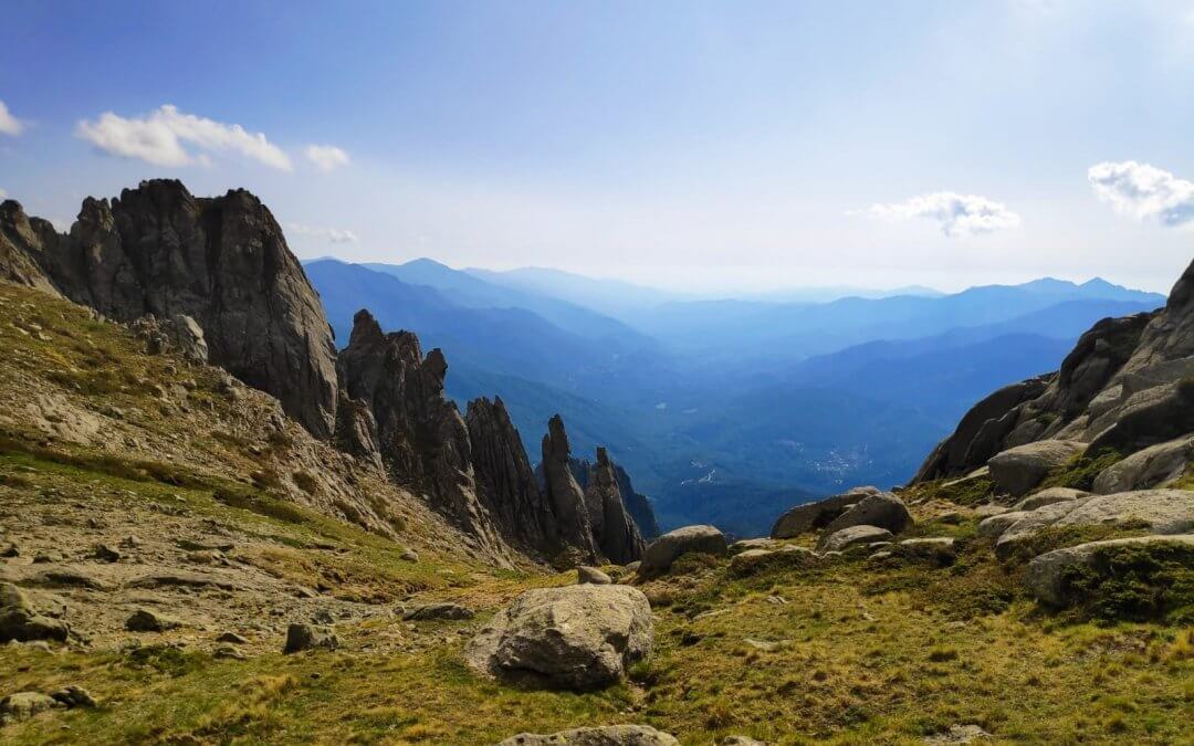
Sixteen stages, north to south, from Calenzana to Conca. That is the skeleton of the GR20. On paper, a simple line drawn across Corsica. On the ground, a run of different worlds answering one another: granite and fixed chains in the north, forests and shepherds’ huts in the south. Here is the classic breakdown I recommend, measured on our own GPS, and how to bend it to your own pace.
The 16 stages in a table (north to south)
| Stage | Section | Distance | D+ / D- |
|---|---|---|---|
| 1 | Calenzana → Ortu di u Piobbu | 12 km | 1427 / 63 |
| 2 | Ortu di u Piobbu → Carrozzu | 10 km | 780 / 910 |
| 3 | Carrozzu → Ascu Stagnu | 9 km | 800 / 640 |
| 4 | Ascu Stagnu → Bergeries de Ballone (via Monte Cinto) | 13 km | 1508 / 1250 |
| 5 | Ballone → Ciottulu di i Mori | 8.5 km | 620 / 80 |
| 6 | Ciottulu di i Mori → Manganu | 27 km | 650 / 1050 |
| 7 | Manganu → Petra Piana | 10 km | 850 / 655 |
| 8 | Petra Piana → l’Onda | 8 km | 850 / 600 |
| 9 | l’Onda → Vizzavona | 14 km | 739 / 1231 |
| 10 | Vizzavona → Capanelle | 16 km | 1280 / 508 |
| 11 | Capanelle → Prati | 20 km | 970 / 775 |
| 12 | Prati → Usciolu | 12 km | 994 / 221 |
| 13 | Usciolu → Matalza | 10.5 km | 700 / 796 |
| 14 | Matalza → Asinau | 9 km | 650 / 550 |
| 15 | Asinau → Paliri | 18 km | 485 / 808 |
| 16 | Paliri → Conca | 15 km | 465 / 1030 |
On our own GPS readings, taken on a crossing in September 2023, the whole thing adds up to around 212 km and 13,148 metres of ascent. The signposts give walking times that a fit hiker holding a decent pace will often halve, but do not put too much faith in the numbers. Every kilometre here is won in the rocks.
The northern GR20: the stages that make the legend
From Calenzana to Vizzavona the trail bares its teeth. Stage 1 sets the tone straight away, a long climb up to a col at 1,556 metres on broken ground where you have to watch every footfall. Stage 2 feels more like scrambling than hiking, and finishes with a long descent over loose rock. Stage 3 takes you across a suspension bridge and along some exposed sections, with Monte Cinto coming into view.
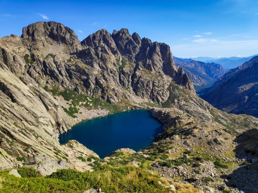
Stage 4 is the toughest of the lot. Slopes at 45 degrees over lava and scree, passages where both hands are needed, and the option of climbing Monte Cinto at 2,706 metres, the roof of Corsica. This northern section is also where the famous Cirque de la Solitude used to run, closed after the fatal accident of June 2015; the official route now goes higher, over towards the Pointe des Éboulis. The stages that follow string together high lakes, the Connemara-like Lac de Nino among them, and viewpoints such as the Brèche de Capitello.
The southern GR20: gentler, never trivial
Past Vizzavona you feel the difference straight away: less scree, faster-running paths, great forests of beech and chestnut where, at the end of summer, the mushrooms run into the hundreds. The stages get longer and lose their verticality, right up to the grand finale among the Bavella spires. The last stage drops you almost back to sea level, at Conca, where everyone poses proudly beside the famous finish sign.
Which direction, and should you double up stages?
I recommend the north-south direction, the traditional one, for two reasons. First, you take on the hardest ground while your legs are fresh, with the relief of knowing the second half is kinder. Second, the finish at Conca gives you the famous sign, which Calenzana does not. As for doubling up stages, it all comes down to your fitness. Over fifteen days, one stage a day leaves room to savour it. The best trained get round in ten, eight, seven, even five days by linking sections together. I set out each of those schedules day by day, with the exact distances, in the free ebook “Get your GR Corse 100% right”.
Before choosing your pace, also read when to go and where to sleep on the GR20.