
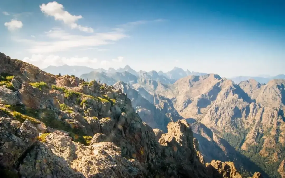
It is five in the morning in Calenzana. The village is still asleep, the cool air clings to your skin, and ahead of me the path runs straight at the mountain. The GR20 always starts like this. An alarm that goes off too early, a pack that sits a little too heavy on the shoulders, and that knot in the stomach where doubt and appetite get tangled together. I have walked this route often enough to know one simple thing: you do not cross Corsica lightly, you earn it. And that is exactly why people keep coming back.
180 kilometres, or rather 212 according to our own readings
The GR20 gets boiled down to numbers, and the numbers alone are enough to make your head spin. The guidebooks give around 180 km between Calenzana in the north-west and Conca in the south-east. Our own GPS readings, taken by the WhyTrek team on a crossing in September 2023, come out at 212 km and 13,148 metres of ascent over sixteen stages. That gap tells you plenty. You rarely walk in a straight line here, and every kilometre is won in the rocks.
The trail splits in two at Vizzavona, roughly halfway. Two moods, two temperaments. The north is bare rock, brittle and jagged, cut out for people who like getting their hands on the mountain. The south softens, turns green, breathes a little easier. Plenty of walkers start in the north so they take on the hardest part while their legs are still fresh. That is my advice too.
The north, where the GR20 bares its teeth
This first half is where the crossing earned its reputation. You climb through chaotic fields of boulders, you cross the smooth slabs of the Spasimata clipped to a chain, and there are stretches where the arms do as much work as the legs. This is also where the famous Cirque de la Solitude used to be, for years the most feared passage on the route. It was closed after the terrible accident of June 2015, which cost seven people their lives. Since then the official route runs higher, over towards the Pointe des Éboulis, at the foot of Monte Cinto and its 2,706 metres, the roof of Corsica. The cirque reopened unofficially in 2018, but it is neither waymarked nor maintained. It is no longer a hiking path, and I would advise against it without the gear and the mountaineering experience to match.
What stays with me about the north is not the difficulty for its own sake. It is the payoff. Reaching a col after hours of effort, dropping the pack, and seeing the sea on one side and a run of jagged spires on the other. You do not forget moments like that.
The south, gentler but never easy
Past Vizzavona the scenery changes. Laricio pine forests take over, shepherds’ huts start appearing, and you come across more springs. Around the Lac de Nino, the flat ground and its grassy channels could almost pass for the Irish Connemara. Lower down, at the end of summer, the beech and chestnut understorey fills with mushrooms. And the finale, in the Bavella massif, hands you those glowing red spires like a parting gift. Watch out for the classic trap though: assuming the second half is a formality. The days are still long, and the fatigue you have banked sits heavy in the calves.
When to go, and how to get ready
The window is short. Mid-June to mid-September, once the snow has cleared from the northern sections. July and August are the busiest, with refuges full. June and September are quieter, but the weather is less reliable. One figure puts everything in perspective: of roughly 20,000 people who set off each year, only half finish. The dropouts almost always come down to the same three things. Not enough preparation, injury, or not enough time on the route.
Three things make the difference. Physical preparation first, with long outings and plenty of ascent under a loaded pack, months ahead. Logistics next: the refuges, run by the Parc naturel régional de Corse, need booking in advance, especially in high season. Water and weather last: you set off early, you fill the bottles at every reliable spring, and you keep an eye on the sky, because a storm builds fast here and turns a rock slab into an ice rink.
Guided, or under your own steam?
Plenty of people set off alone, and it makes for a magnificent experience. But every year I also watch strong walkers give up, not for want of legs but for want of bearings: a route misread, weather not seen coming, a pace badly judged in the first few days. Going with a guide means handing over that mental load, lifting your eyes and enjoying the place while someone else reads the mountain, adjusts the stages and keeps watch over the group. That is the whole point of what I offer with WhyTrek.
Our detailed guides to help you prepare for the GR20
- The 16 GR20 stages in detail
- When to go: the best window and the risks
- Physical preparation and how many days
- Which direction, and which stages to double up
- Sleeping: refuges, booking, dormitory or tent
- Water and resupply
- Budget: what the crossing costs
- Kit and pack: the checklist
- Alone or guided, dangers and common myths
- Why it is called the GR20, and is it the finest?